
Severe Weather Systems Sweep Across United States on July 12, 2026
Cyberzenhub.com – A dangerous combination of flooding and extreme heat is currently impacting multiple regions of the United States. From Tennessee through West Virginia, residents face ongoing flash flood threats as heavy rainfall and slow-moving thunderstorm systems continue to move across the Midwest and southern portions of the country. By Sunday afternoon, flood watches remained active for several major metropolitan areas, including Nashville, Kentucky’s capital of Lexington, and Charleston in West Virginia. In southern West Virginia specifically, thunderstorms moving at a reduced pace have triggered flash flooding throughout Huntington and nearby communities.
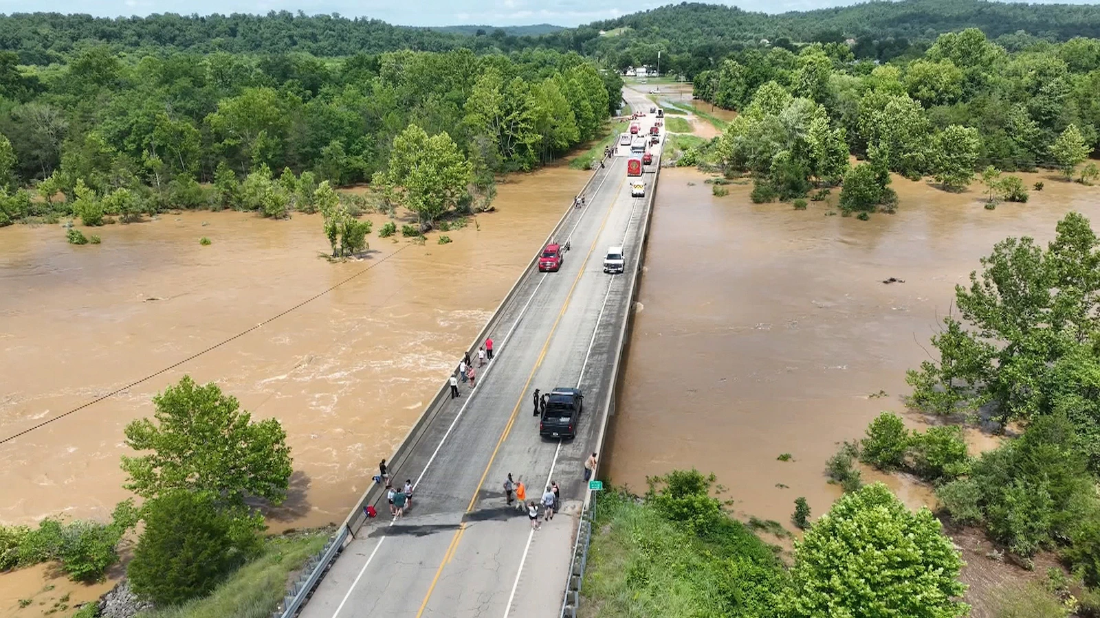
Meanwhile, severe thunderstorm activity is also anticipated across portions of the Carolinas and eastern Georgia during Sunday afternoon. Cities such as Charlotte, Charleston, and Savannah in Georgia could experience strong winds accompanied by damaging gusts. This current weather pattern follows catastrophic flooding that struck Missouri over the weekend, prompting hundreds of water rescues according to officials. Among those rescued were more than 160 teenagers attending Camp Taum Sauk in Reynolds County.
Tragedy in Missouri Amidst the Storms
Adding to the somber mood in Missouri, a missing woman has been found deceased. Faith Gregory, identified as the missing person, was discovered on Saturday approximately two miles downstream from her residence along Huzzah Creek in Crawford County, according to the county sheriff’s office. The flooding that contributed to her death also prompted Missouri to declare a state of emergency due to life-threatening conditions.
Record-Breaking Heat Grips Western States
While flooding dominates headlines in the Midwest and South, another major weather story involves extreme heat enveloping parts of the West and northern Plains. This heat wave is expected to persist through the beginning of the week, with daily high temperature records under threat from Utah and Montana all the way to Minnesota through Monday. Hot and dry conditions are simultaneously fueling elevated to critical fire weather across portions of the Northwest on Sunday afternoon.
Heat alerts have been issued spanning from southern California through Montana and into Minnesota. On Sunday afternoon, extreme heat warnings were active from Utah through eastern Montana and into Minnesota, covering major cities including Salt Lake City, Billings in Montana, Bismarck in North Dakota, and Duluth in Minnesota.
Historic Temperature Milestones Achieved
Temperatures soared above 100 degrees across much of the Intermountain West on Sunday afternoon, with parts of Montana and Wyoming experiencing readings exceeding 110 degrees. Multiple western cities from Utah to Montana recorded their hottest temperatures ever documented.
Salt Lake City reached a preliminary high of 109 degrees on Sunday, breaking the previous all-time record of 107 degrees that had been set in 1960, 2002, 2021, and twice during 2022. The city’s temperature records extend back to 1874. Billings achieved a preliminary high of 111 degrees on Sunday afternoon, shattering the previous all-time high of 108 degrees established on July 14, 2002. Miles City, Montana also set a new benchmark with a preliminary high of 115 degrees, surpassing its previous all-time high of 111 degrees recorded on June 26, 2012.
Weather Patterns Shift Eastward
On Monday, the heat is expected to move eastward toward the Dakotas and the Midwest. The high temperature in Fargo, North Dakota, is projected to reach near 100 degrees. If International Falls, Minnesota, reaches 100 degrees on Monday, it would not only break the daily record high of 93 degrees set on July 13, 1983, but also mark the city’s first 100-degree day in over a century. The last time International Falls experienced triple-digit temperatures was on July 22, 1923, when it reached an all-time high of 103 degrees.
In southern Arizona, monsoon thunderstorms could develop later on Sunday and potentially become severe, producing strong wind gusts capable of causing damage and generating blowing dust that may reduce visibility for motorists. Meanwhile, the combination of extreme heat, very dry conditions, and gusty winds continues to increase fire danger across parts of the Northwest, including portions of Washington and Oregon.
Flash flood threat for Sunday, July 12, 2026. ABC News
Dangerous heat alerts for Sunday, July 12, 2026. ABC News